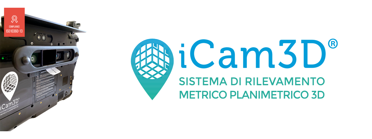
iCam3D
3D planimetric surveying system
iCam3D is the metric, planimetric and photographic three-dimensional road accident ascertainment system that is the solution to all the critical issues of manual surveying.
- Simple, intuitive and instantaneous: it’s like taking a video shot, just walk around the scene, around the objects and volumes to be captured.
- Low investment.
- Accurate and detailed results: captures dense, measurable, full-color 3D data of every detail in the scene.
- Secure and local 3D data processing no internet connection or post. processing required.
- Precise and accurate: overall accuracy of the survey determinable and high certified for each individual device.
- Highly compressed and easily shared 3D files.
- Quick editing of any scene with 3D cropping, filtering, coordinate system management and more.
- Real-time preview: the operator follows what he is capturing in real time with immediate checks of the capture. View and measure directly from the Tablet, correct, add missing or missed parts
- NOT sensitive to weather conditions such as: rain, snow, moving objects, people.
For document processing , iCam3D integrates with all traffic accident management systems.


